Precision agriculture and environmental monitoring technology
Improve productivity, efficiency, safety, and resource utilization
Determining the best technologies to meet remote monitoring, environmental monitoring, data collection, geolocation and automation needs for agriculture can take quite a bit of research and time. We looked into what farming, agtech and similar companies were doing with SparkFun parts and consolidated that information to support others.
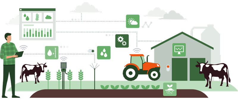
In the last several years, technology to support agriculture has advanced at a rapid pace and is only expected to continue growing. Given the varied needs and the often remote and expansive nature of agtech, the tools needed can vary greatly. Whether you are implementing a DIY solution for long-range communication and data collection, or leading a company that is building complete systems for environmental monitoring, the options can be overwhelming.
Remote monitoring
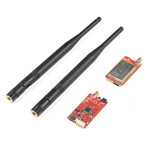
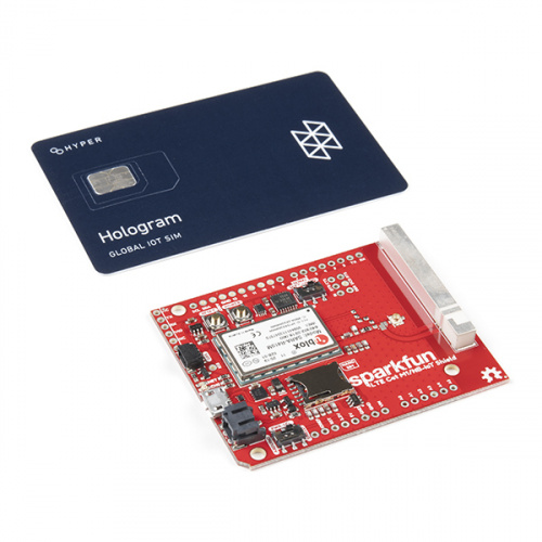
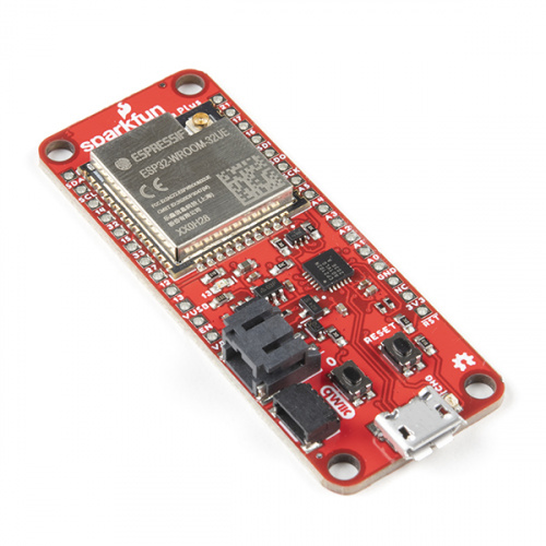
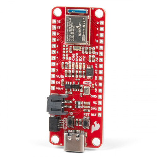
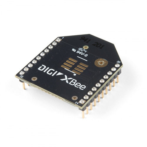
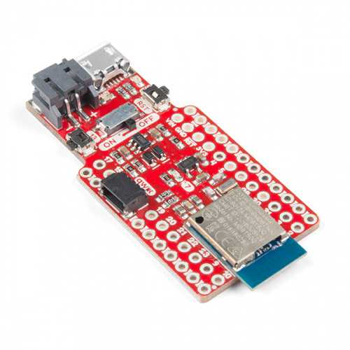
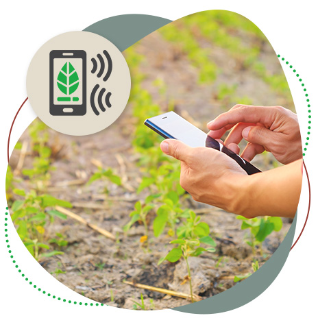
When connecting sensors across miles of land to monitor machinery, livestock or crops, choosing the best type of wireless communication and networking for your needs can be tricky. The most important place to start is to narrow down your requirements - operating range, data transmission speed, and power consumption are critical elements. These will help you determine what tech will best support you; LoRa®, LTE, Wifi and Bluetooth are just some of the options.
See relevant products
Explore use cases
Environmental monitoring and data collection
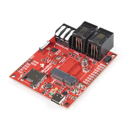
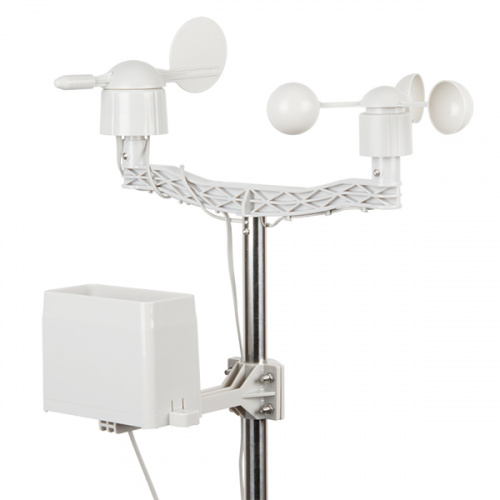
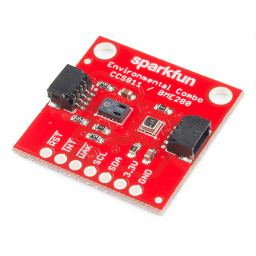
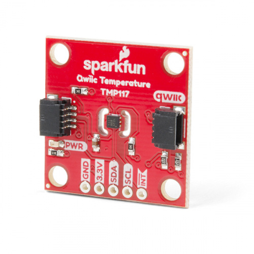
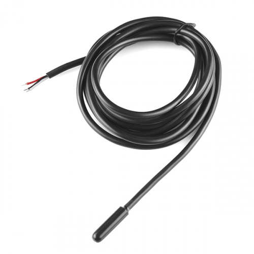
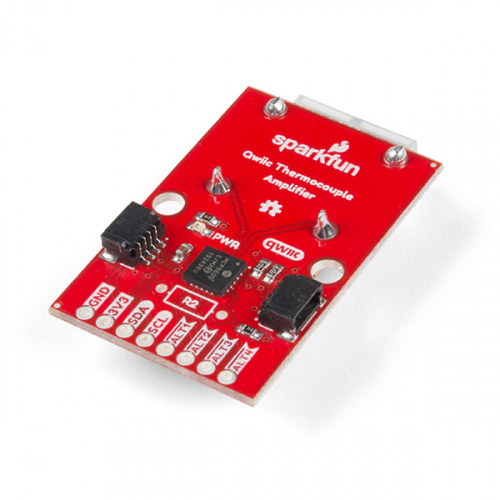
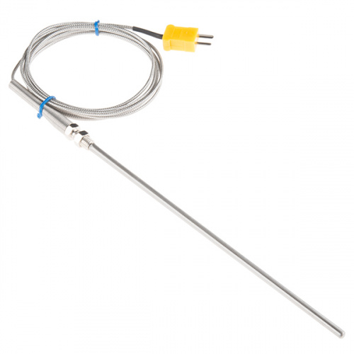
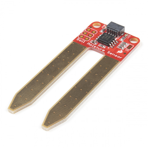
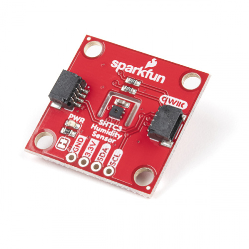
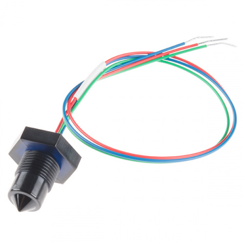
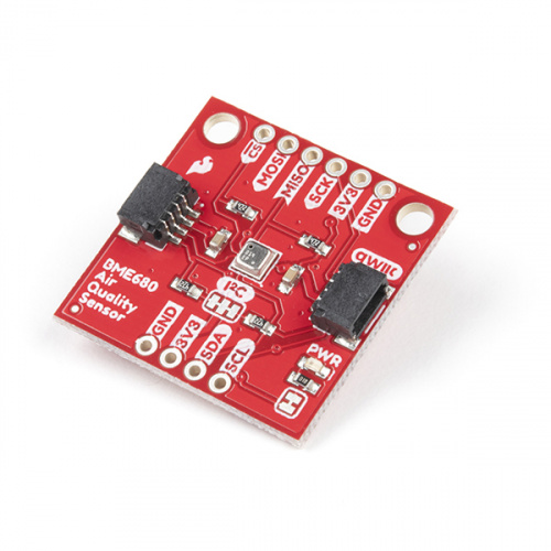
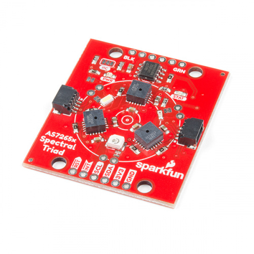
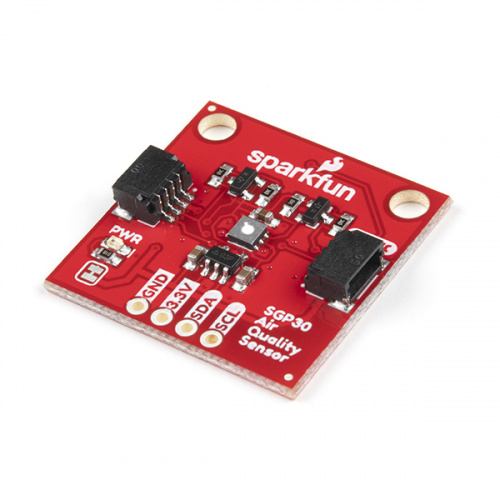
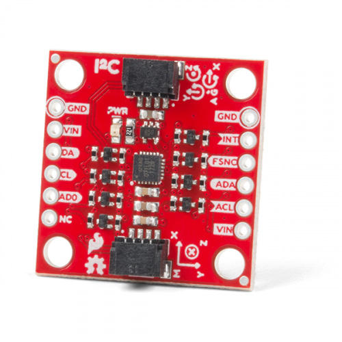
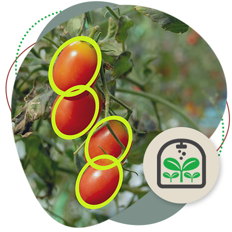
Using sensors for monitoring and data collection can help ensure the right temperature and humidity in a greenhouse, provide alerts if machinery is not working right, or make sure air quality is where it needs to be. There are thousands of sensor options out there - knowing exactly what you want from them is a great place to start. There are some great combo sensors, as well as those specific to temperature, moisture, light, motion...you name it.
See relevant products
Explore use cases
Geolocation
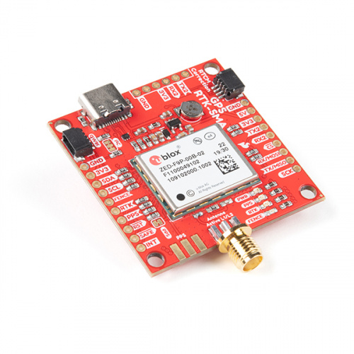
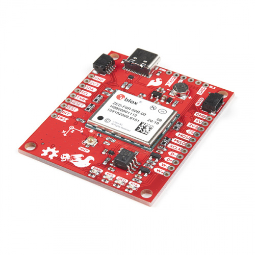
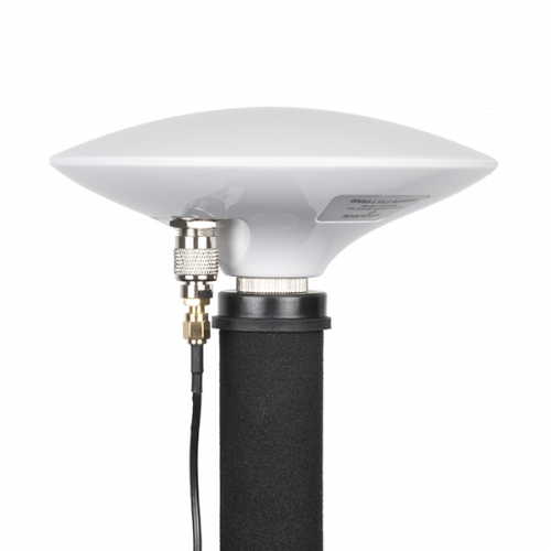
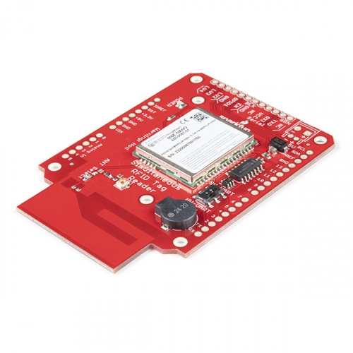
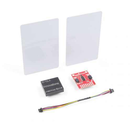
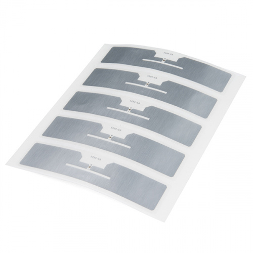
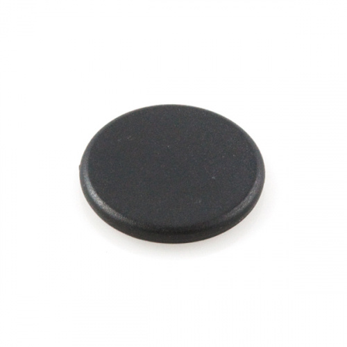
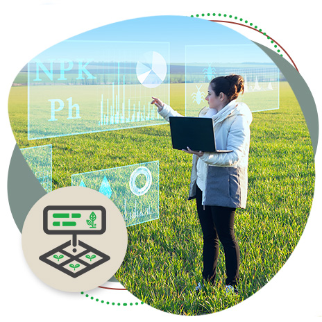
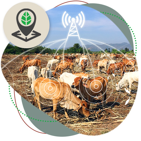
With millimeter accuracy, GPS/GNSS is having a tremendous impact on precision agriculture; likewise, the information available through RFID tags is changing the management of animals and products. From accurately surveying a field in preparation for planting, to tracking a herd in open range, to being able to pinpoint the location of machinery - this emerging technology can save tremendous time, effort and money.
See relevant products
Explore use cases
Automation and machine learning
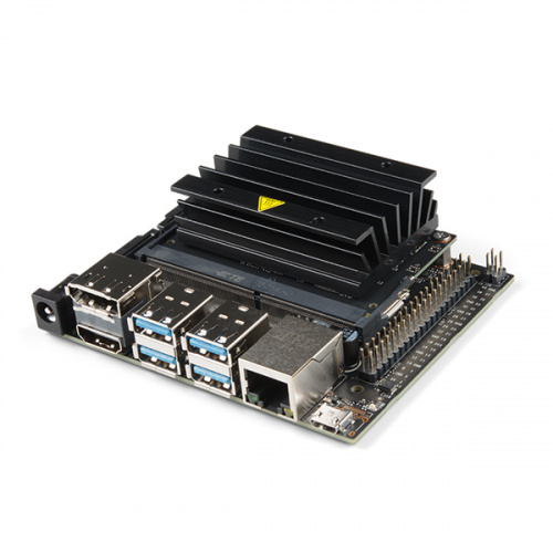
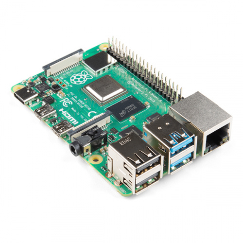
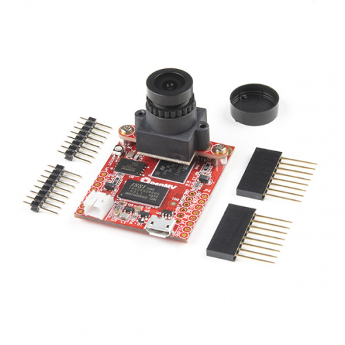
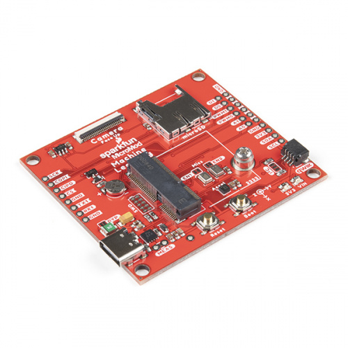
Collecting data is one thing; making sense of and using the data is another. Building systems that utilize machine learning to synthesize sensor data can save a lot of time and bring the most relevant findings to the surface. From an irrigation system that only waters plants that need it, to autonomous micro-tractors that can navigate themselves around a field, the possibilities for streamlining resources and reducing waste are limitless.
See relevant products
Explore use cases
Bring your idea to life!
Have an idea but need some help making it a reality? We can help. From recommending the best hardware for your needs, to designing a board based on your specifications, to sourcing a specific module, our value-added sales team helps bridge the gap between our current offerings and your needs. Please fill out the form for more information.
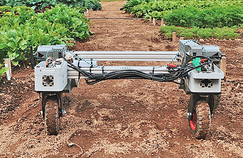
Custom Farming Solution
Long-range communication to support autonomous micro-tractors.
Tech used:
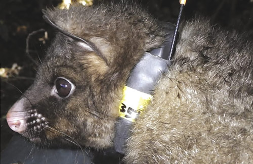
LandCare Research
Using RFID to track possums and save crops.
Tech used:

Haltwhistle Cheese
Using RFID to feed goats and track the herd’s health.
Tech used:
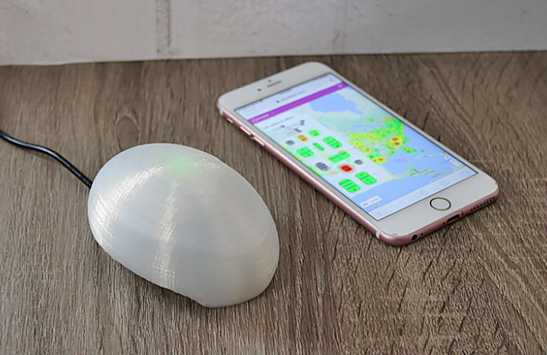
PurpleAir
SparkFun brings data logging to support a real-time, global air-quality map -- ideal for tracking microclimate data.
Tech used:
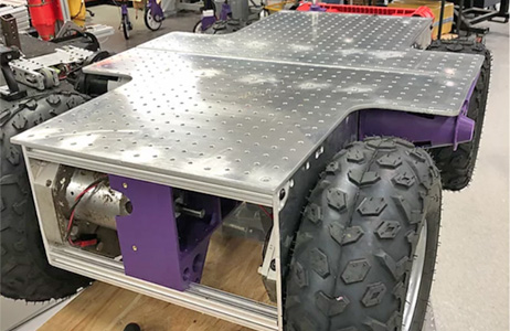
2050 Robotics Lab
Using machine learning to spot aphids and trigger a mobile robot to spray the affected area.
Tech used:
“I may only have a couple minutes per day with each animal to perform a health assessment. Having some automated tools that are able to provide support throughout the day and feed me data on the herd automatically helps to ensure that I’m getting the bigger picture of herd health, and can act early on it.”
- Cory Spencer
Haltwhistle Cheese
Tools for monitoring, geolocation, data collection (sensors) and automation
Get accurate land surveying at a lower price.
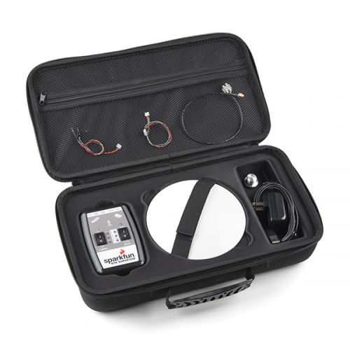
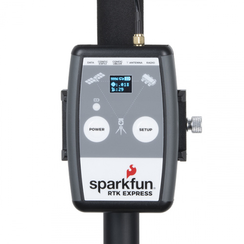
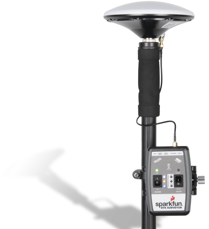
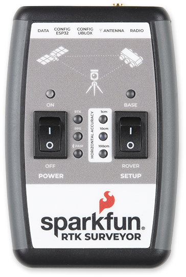
The SparkFun RTK Surveyor is an easy to use GNSS receiver for centimeter-level positioning - perfect for surveying or use as a base station. With the flick of a switch, two RTK Surveyors can be used to create an RTK system capable of 14 mm horizontal positional accuracy. The built-in Bluetooth connection enables use of the RTK Surveyor with your choice of phone or tablet applications. A built-in battery allows field use for up to four hours, and is compatible with common USB battery banks.
