Hello everyone! This week we have a load of new products, starting with two new Qwiic shields - one for the Arduino Nano and one for our popular Thing Plus line. We also have new versions of our micro:climate kit and weather:bit Carrier Board, both for micro:bit. Last, and certainly not least, we have two brand new LIDAR Mappers from SLAMTEC that we know a lot of you have been asking about! Let's jump in and take a closer look.
Shields up!
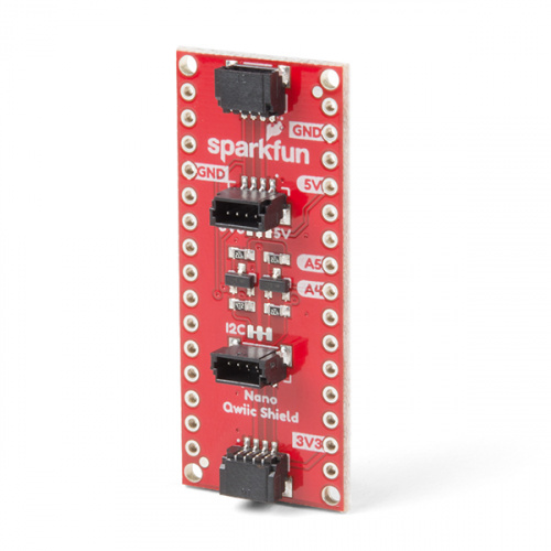
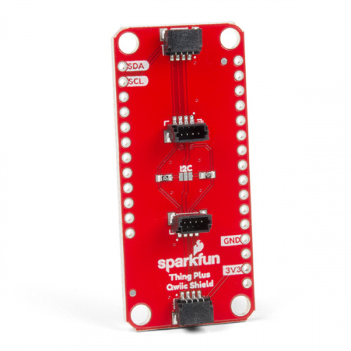
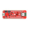
The SparkFun Qwiic Shield for Arduino Nano and Qwiic Shield for Thing Plus provide you with a quick and easy way to enter into SparkFun's Qwiic ecosystem with your Arduino Nano or Thing Plus boards. The Qwiic Shields connect the I2C bus (GND, 3.3V, SDA and SCL) on your boards to four SparkFun Qwiic connectors (two horizontally mounted, and two vertically mounted). The Qwiic connect system allows for easy daisy-chaining - so long as your devices are on different addresses, you can connect as many Qwiic devices as you would like. Additionally, the Thing Plus Shield is also compatible with the Feather footprint!
Be your own meteorologist!
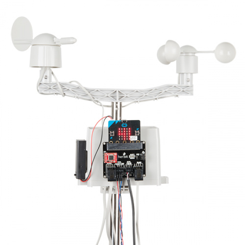
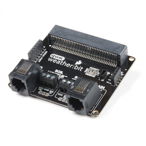
The SparkFun micro:climate kit is a full weather station kit built on top of the weather:bit Carrier Board. Unlike previous weather kits we've carried, this micro:climate kit is Qwiic-enabled and includes our tried-and-true Weather Meters and Soil Moisture Sensor, so whether you’re an agriculturalist, a professional meteorologist or a hobbyist, you will be able to build a high-grade weather station powered by the micro:bit. You can even talk via wireless communication between two micro:bits with this kit, so you can monitor the weather without being exposed to it! Of course, if you are just looking for the weather:bit Carrier Board inside the kit, we have that available alone as well! Please be aware that neither of these products come with a micro:bit and it will need to be purchased separately.
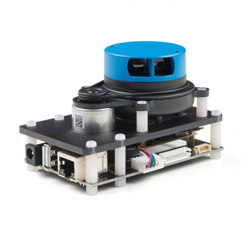
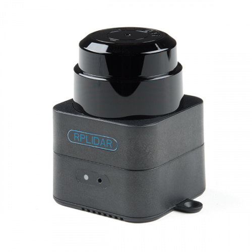
The SLAMTEC Mapper Developer and Pro Kits are a new type of laser sensor introduced by (you guessed it) SLAMTEC, which is different from the traditional LIDAR. Each version has built-in functions of simultaneous localization and mapping (SLAM), and is suitable for many applications such as robot navigation and positioning, environmental mapping and hand-held measurement.
That's it for this week! As always, we can't wait to see what you make! Shoot us a tweet @sparkfun, or let us know on Instagram or Facebook. We’d love to see what projects you’ve made!
